Ocean Accounts Fellows in Madagascar are developing ocean accounts for coastal and coral reef change, and the ecosystem services they provide to local communities.
Background
With 5,000km of coastline, marine and coastal ecosystems are essential to the national and local economy and livelihoods in Madagascar. Developing indicators to track this crucial blue economy is a critical step to sustainable ocean governance and economic resilience. These indicators give decision-makers a way to assess both the health of marine ecosystems and the socio-economic benefits people draw from them.
The OASIS-M project (Ocean Accounting in Support of Sustainable Ocean Planning for Madagascar) aims to develop Ocean Accounts for coral reefs and the ecosystem services they provide in Toliara, Madagascar to inform blue economy indicators. The project is led by the Ocean Accounts Fellows at the Institut Halieutique et des Sciences Marines (IHSM), University of Toliara and supported by the Ministry of Fisheries and the Blue Economy, Global Ocean Accounts Partnership (GOAP) and UK Government’s Blue Planet Fund.
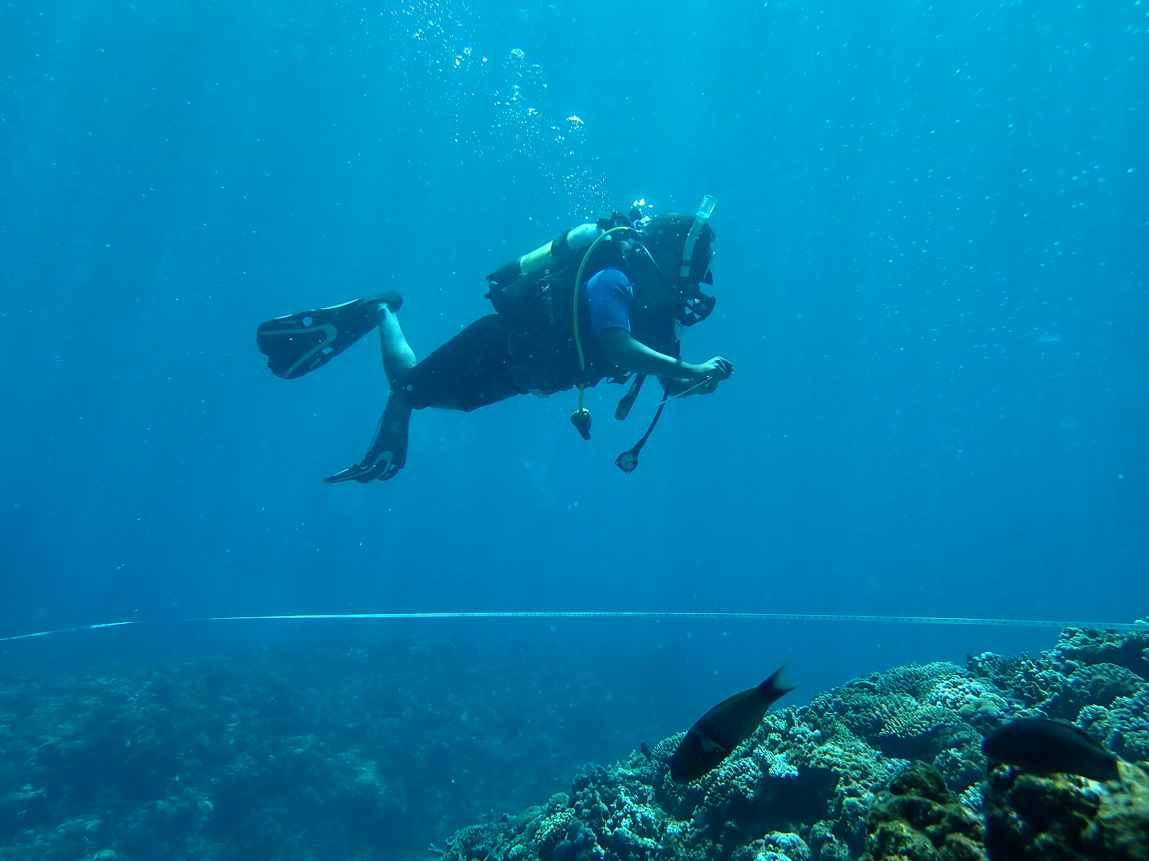
OASIS-M focuses on coral reef systems along the southwest coast, from Morombe to Ambohibola. The team of researchers combines Sentinel-2 satellite imagery, drone surveys and Object-Based Image Analysis (OBIA) with in-situ ground-truthing to map ecosystem extent, condition and services.
The project is working to:
Integrate coral ecosystem science, remote sensing and empirical data to develop ecosystem extent and condition accounts for coral reefs nationally.
Assess the ecosystem services provided by coral reef ecosystems.
Identify the pressures human activities, including fisheries and pollution, are placing on those ecosystem services.
Develop Ocean Economic Satellite Accounts.
Strengthen Madagascar’s ability to manage its blue economy sustainably, contributing to poverty reduction and improved livelihoods for local communities.
Learn more about the project from the Ocean Accounts Fellows
Institut Halieutique et des Sciences Marines, University of Toliara, Madagascar
Coral extent and condition of the Coral Reef systems off the southwest coast of Madagascar
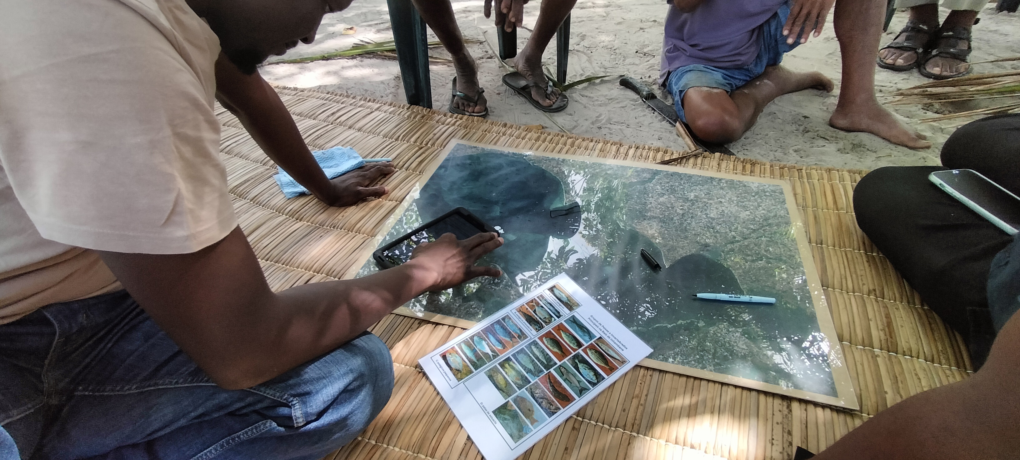
This research aims to enhance ecosystem accounting methodologies by integrating in situ validation techniques to improve the accuracy of ecosystem maps derived from satellite imagery and assess the spatiotemporal dynamics of coral reef conditions. By combining field data collection, drone-based aerial imaging, and in situ ecological monitoring, the project will optimize the reliability of remote sensing models applied to the mapping of benthic and coastal habitats. Furthermore, it will incorporate analyses of community resource use, tracing historical changes in coral cover, reef ecological integrity, and dependence on ecosystem services. The findings will contribute to the development of strategic recommendations for the sustainable management of marine ecosystems, ensuring the integration of scientific data and local knowledge into conservation policies.
Institut Halieutique et des Sciences Marines, University of Toliara, Madagascar
Developing National Ocean Economic Satellite Accounts for Madagascar
This project focuses on the development of Ocean Economy Satellite Accounts (OESA) for Madagascar, addressing the critical need to integrate ocean-based economic activities into national economic frameworks. The project will assess the value of ecosystem services, formulate ocean economy indicators, and provide data-driven insights for policy development. These efforts will support evidence-based ocean governance, strategic investment planning, and the integration of marine resource management into Madagascar’s national economic policies and sustainable development strategies.
Institut Halieutique et des Sciences Marines, University of Toliara, Madagascar
Remote Sensing and Earth Observation for Mapping Coral Reef Systems in Southwest MadagascarAccounting
This project aims to enhance the mapping and monitoring of coral reef ecosystems along the southwest coast of Madagascar using high-resolution satellite imagery, drone-based surveys, and advanced classification techniques. As part of the OASIS-M initiative, the research will contribute to the System of Environmental Economic Accounting – Ecosystem Accounting (SEEA-EA) framework by generating accurate ecosystem extent maps. The study will integrate Sentinel-2 remote sensing data, Object-Based Image Analysis (OBIA), and in situ ground-truthing to refine coastal and benthic habitat classification. These ecosystem accounts will support sustainable ocean planning, marine spatial management, and national blue economy strategies. By bridging scientific data with governance needs, the project aligns with ocean accounting principles, ensuring the integration of ecosystem information into Madagascar’s National Accounts System for improved marine conservation and policy decision-making.